
Orbital
Satellite & survey
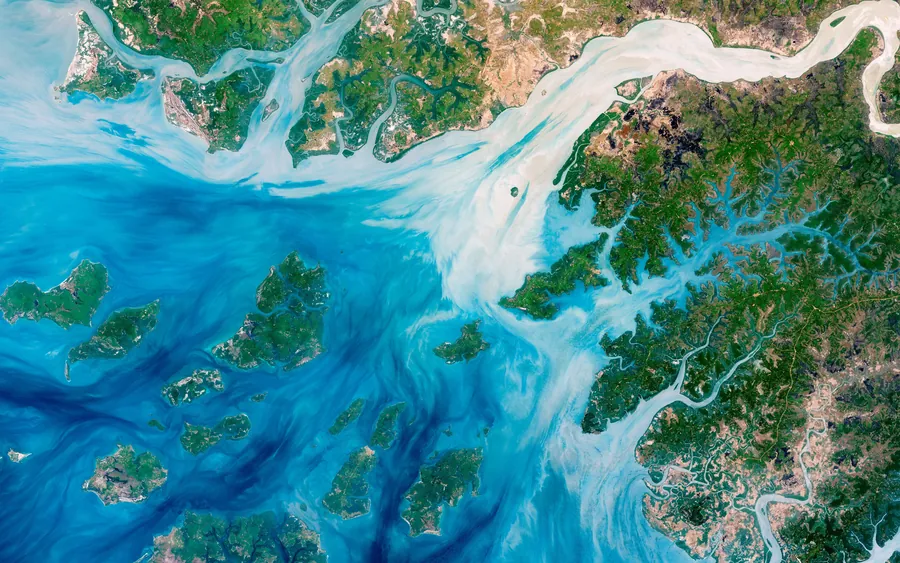
Wide-area imagery at metre scale. Change detection across revisits — what moved, what appeared, what’s gone since the last pass.
◉ Visual intelligence platform
One pipeline takes satellite imagery, aerial and drone footage, body-cams, fixed CCTV and archived stills — and resolves every source into structured, real-time detections you can actually query.
The platform
The same models run from 400 km up to a camera on someone’s chest. What changes is resolution, motion and latency — not the pipeline.
Orbital
Wide-area imagery at metre scale. Change detection across revisits — what moved, what appeared, what’s gone since the last pass.
Aerial
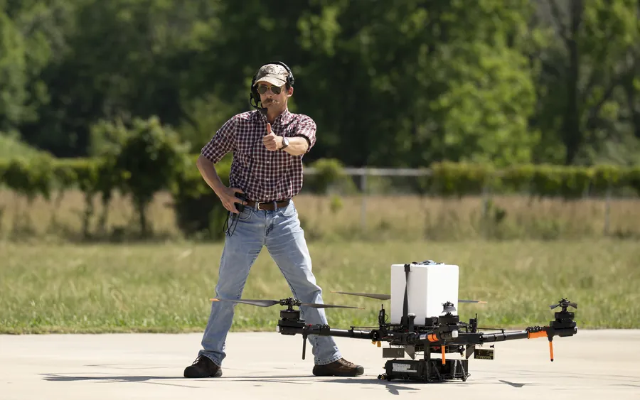
Full-motion video off a moving gimbal. Tracking that survives camera motion, altitude change and handoff between airframes.
Ground
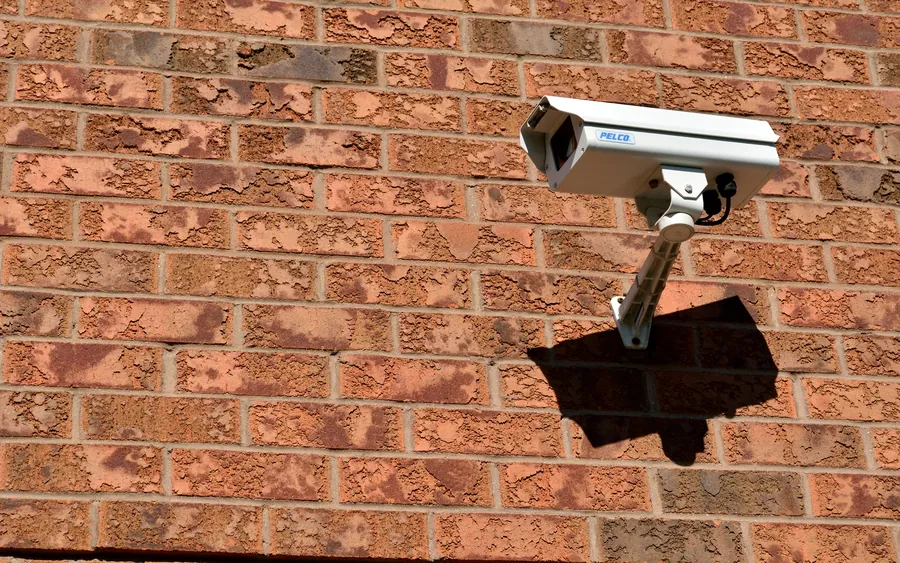
Thousands of fixed and worn cameras. Detection runs at the edge, so only structured events cross the network — not raw video.
How it works
Five stages between a camera and an answer. Every stage is inspectable — you can see why a detection fired, not just that it did.
RTMP, RTSP, ONVIF, S3 drops and raw satellite tiles. No re-encoding upstream.
Every feed lands in one frame format, colour space and clock, whatever it came from.
Detection, classification, tracking and change detection — with confidence and model provenance on every result.
Detections become behaviour: counts, dwell, routes, anomalies and thresholds that fire alerts.
Ask across every feed at once — live streams and the whole archive — and get told the moment it matters.
Deployment
Run it in your own facility, in our cloud, or both. You can change your mind later without changing platform.
On-premise · Edge
The models, the index and the analytics all sit inside your perimeter — not just a thin detector shipping results elsewhere. Your teams query their own data, tune thresholds against their own operations, and keep every decision auditable on site.
Cloud · Managed
We operate the platform and you connect sources. Capacity grows with your data rather than with a procurement cycle, and new models reach you as soon as they are ready.
Most customers end up running both: on-site where latency or confidentiality demands it, cloud for long-term archive, cross-site comparison and heavier models.
What changes
Most organisations already collect far more imagery than anyone can look at — live streams, archived footage, drone sorties, satellite passes. Putting models on it turns that backlog into something that answers questions.
Every feed, sortie and satellite pass adds hours nobody will ever open. Models read all of it, continuously, and surface only what needs a human.
Models surface where loss actually happens — idle assets, repeated faults, wasted movement, shrinkage. You optimise against measured causes instead of estimates, and analysis cost stops scaling with headcount.
Finding one event across an archive means reviewing by hand. Query the index instead — by object, time, place or source — and go straight to it.
Visual data is usually consulted after the fact, to explain something. Analysis at ingest means you are told while there is still time to act on it.
Counts, change over time, movement patterns and anomalies fall out of the same analysis. Decisions about resourcing and priorities stop being guesswork.
Satellite, aerial and on-site intelligence each stand alone and solve their own problem. Run one, or connect several and let findings from one layer inform the next.
Security
Treating it that way is a design constraint, not a compliance page.
Analysis runs next to the source. Raw imagery stays where it was captured unless you move it deliberately.
Every result carries the model version, the source it came from and the moment it was produced.
Raw inputs, derived results and archives expire on separate schedules, per source.
Permissions attach to sources, sites and datasets — not to a single all-or-nothing account.
◉ Get in touch
Satellite, drone, body-cam or a decade-old CCTV rig — tell us what you already run, and we’ll come back with what your footage can actually tell you.
Contact us